
Kalamazoo Neighbors by Block
A Kalamazoo neighbors search begins with the physical block, not a name-only result. The county parcel viewer and the City GIS map show the parcels surrounding an address. The tax and property card can then identify an owner of record, while the library's street-order directories supply a historical layer. These sources answer different questions. An owner can have a separate mailing address, and a historical directory entry is dated evidence rather than proof of a current household.
The table keeps the channels separate. It also shows why a neighborhood inquiry should be narrow: identify a parcel, note the source and date, and verify an important fact with the office or collection that holds the original record.
| Block source | Local result | How to use it |
|---|---|---|
| City GIS map | Adjacent parcels, layers, zoning, and map context | Online map with popup, measure, and print tools |
| County GIS and parcel viewer | Parcel geometry and the lots around an address | Online, informational map service |
| Parcel and BS&A records | Owner, tax, sale, building, or permit fields for one parcel | Address, owner, or street search; fields vary |
| Street Name Directory | Range, parity, municipality, ZIP, and census tract for a segment | Official county PDF |
| KPL city directories | Historic street-order occupants and businesses | Edition-specific library or digital access |
Ownership is not occupancy. The public sources do not supply a complete list of renters, household members, delivery customers, or protected people. For a wider named-street chain, the address workflow belongs in the Kalamazoo by-street directory.
Kalamazoo GIS for Neighbors
City of Kalamazoo GIS Maps provides parcel popups, layers, a legend, measure controls, and printing. A popup can lead to the BS&A property record for the selected parcel. The measure tool helps put nearby parcels in map context, but it does not establish a legal boundary or an owner relationship. The City and county both describe their maps as informational rather than surveys or legal descriptions.
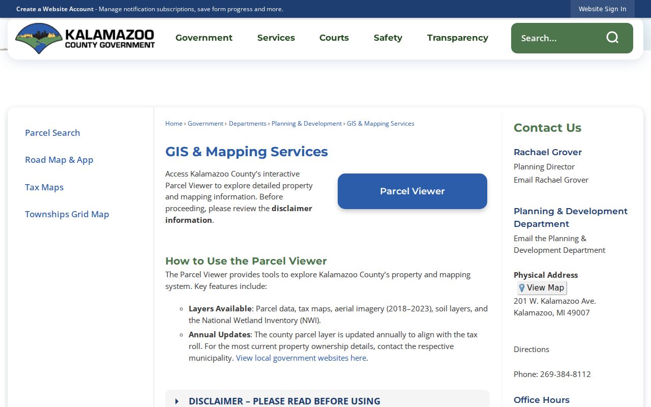
The county GIS view is useful for panning from the subject lot to its immediate neighbors. Keep each parcel result tied to the map date and parcel clicked.
Note: A nearby parcel on a map is evidence of geography, not proof that two households know each other or share a membership.
Kalamazoo Neighborhood Context
The City of Kalamazoo neighborhood map identifies more than 20 community areas, including Arcadia, Downtown, Eastside, Edison, Milwood, Northside, Stuart, Vine, West Main Hill, Westnedge Hill, and Westwood. Those names can help a reader find civic information, but they are not parcel boundaries or separate municipalities. A street can also cross city, township, or postal contexts, so the parcel record remains the source for the particular lot.
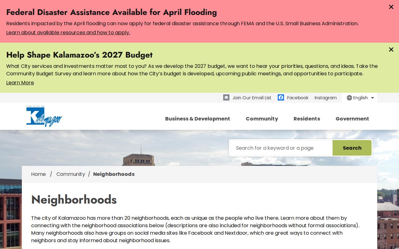
The city map is best read as local context around a Kalamazoo neighbors search, not as a household roster.
Northside context
The city materials associate Northside Association for Community Development with 612 N Park Street. Treat that as an organization contact, not a resident address.
Westwood context
The Westwood neighborhood plan records a meeting pattern at Westwood United Methodist. Confirm current meeting details before relying on the schedule.
Association status
City material reviewed lists Burke Acres, Colony Farm, Hill-n-Brook, Knollwood, South Westnedge, Southside, and WMU/KRPH without an active or organized association.
Kalamazoo Neighbor Voter Limits
The Michigan Voter Information Center is an individual service, not a public tool for producing every voter on a block. Its name search uses first and last name, birth month and year, and ZIP as a narrowing field. A residential-address route is also available. The returned election information is not a complete personal profile, and a no-match response directs the voter to correct the entry or contact the clerk.
A public Qualified Voter File request follows a separate Michigan Department of State route. It can include public fields such as name, address where available, year of birth, registration date, status, jurisdiction, and history, while excluding driver or state identification numbers, month and day of birth, phone, email, signatures, and other protected data. Michigan Address Confidentiality Program participants require special care. Do not use a request or map trail to defeat that protection.
Kalamazoo Neighbor Boundaries
Postal, municipal, parcel, and neighborhood boundaries are different reference systems. The county Street Name Directory supplies a street segment's direction, low and high range, odd or even parity, municipality, ZIP, census tract, and notes. That makes it a useful check when two adjacent Kalamazoo neighbors appear to have different postal labels or when an address falls near a city and township line. It cannot confirm who occupies either address.
- Parcel
- A mapped unit of property used by the assessor and GIS services.
- Situs address
- The physical address of the parcel or building, which can differ from an owner's mailing address.
- Neighborhood
- A city planning or community label, not a legal parcel boundary.
- Postal city
- A delivery label that may extend beyond a municipality's legal border.
For a disputed boundary, use the county's official map or the office that holds the underlying plat. The public viewer helps frame a question; it does not replace that source. Historic locations need an added check because Kalamazoo changed citywide address numbering in 1925 and some street names also changed. The KPL street-history material, 1924 and 1926 directories, 1932 Sanborn maps, and parcel geometry can help connect an older address to the present map. Record each link as a dated research step, not as a certainty created by the map alone.
Map a Kalamazoo Neighbor Block
Use a repeatable parcel method for Kalamazoo neighbors. Start from the known address, then move only to immediately adjacent parcels. This is more reliable than assuming that a postal label or neighborhood name identifies every lot on the block.
- Search the address in the county parcel service or open it in the City GIS map.
- Click the subject parcel and record its parcel ID, property address, and owner field as shown.
- Pan or zoom to each adjoining parcel, opening a separate popup for each one rather than treating the measure tool as ownership evidence.
- Use the linked BS&A record or County Parcel Search to compare property, tax, building, sale, and permit fields where they appear.
- For a historical owner, use the Register of Deeds grantor-grantee index, then repeat the search with the prior seller as grantee.
The process distinguishes a current owner field from a resident claim. It also leaves a clean trail to the Kalamazoo County Register of Deeds when a dated deed or document number needs confirmation.
Kalamazoo Neighbor Sources Compared
Official sources have narrower coverage but tell the reader who holds a record and when it was created. Commercial neighbor tools may blend marketing data with address histories, yet their coverage, date, and accuracy vary. They do not replace a city or county record, a dated KPL directory, or an organization’s own current contact source.
| Source type | Best use | Key limit |
|---|---|---|
| County or city parcel record | Confirm a parcel and recorded owner field | Does not list every occupant |
| GIS map | See adjacent parcel geography and layers | Not a survey or legal description |
| KPL directory or newspaper | Place a household or organization in a dated historical setting | Edition and date matter |
| Commercial neighbor category | Generate a lead to check with an official source | May be stale, incomplete, or unsupported |
For records that are not online, ask the responsible custodian for a narrow request with the parcel, document number, date, or street segment. A narrow request gives staff a defined record to locate.
Historic Kalamazoo Neighbors
Kalamazoo Public Library city directories contain street-order sections beginning in 1897. They can place older occupants and businesses along an address sequence, especially when paired with plats, Sanborn maps, and the library's historic-house research path. Directory abbreviations and numbering changes matter. Kalamazoo had a citywide readdressing in 1925, and no 1925 city directory was published, so the 1924 and 1926 editions plus the 1932 Sanborn maps are useful bridges.
KPL Local Organization Directory adds another community layer, describing nearly 900 agencies, associations, religious organizations, service clubs, and other local groups. It can help locate an organization connected with an area, but it does not establish that every listed group serves a particular block or that a resident belongs to it.
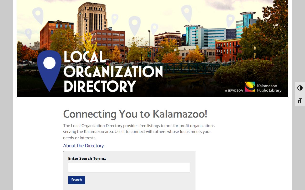
Use the organization directory as a dated discovery source, then confirm a group’s current status through its own contact route or the city’s current neighborhood materials.
Kalamazoo Neighbor Privacy Limits
A Kalamazoo neighbors search cannot properly fill in private household details. Non-owner occupants, utility and delivery customers, protected voters, and Address Confidentiality Program locations should not be inferred from parcel, GIS, newspaper, or directory clues. Michigan’s program under Act 301 of 2020 provides a designated address and mail forwarding for qualifying people facing serious safety risks. It does not authorize others to trace a protected location through combined sources.
Michigan also withholds sensitive voter fields, and motor-vehicle personal information has federal restrictions. When a public result does not provide a field, its absence is not an invitation to reconstruct it from other sources.
Lawful use. Use Kalamazoo neighbor records for personal, civic, or historical research. Michigan anti-stalking and criminal-harassment laws prohibit using information to watch, intimidate, harass, or harm anyone.